
WingtraRAY LiDAR Payload
$17,400.00
180 in stock
SKU:
WING-LIDAR-ADD-RAY
Tags: Compatible With_WingtraRay, hide-price, lidar, Manufacturer_Wingtra
Description
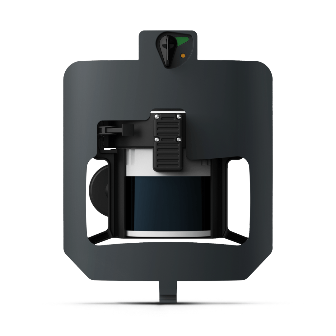
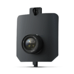
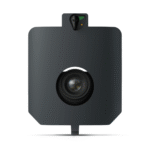
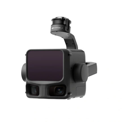
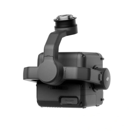
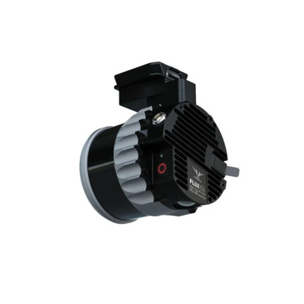
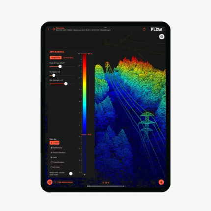
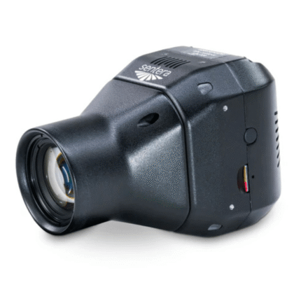
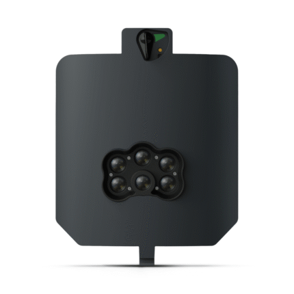
The WingtraRAY LIDAR Payload combines efficiency, ease of use, and reliability to create exceptional digital terrain models, revealing terrain beneath vegetation.
Features
- Easy-to-use, precise and efficient
- Point density: 110pt/m2
- Absolute accuracy (RMS x, y, z) with PPK 2: 3cm
- Max coverage at 90 m: 460ha
High Quality, Swappable and Durable
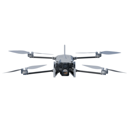
- Unwavering aerial image quality: Thanks to their heavy payload capacity, the Wingtra drones carry the highest quality sensors on the market.
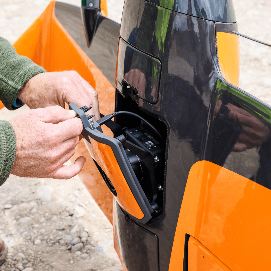
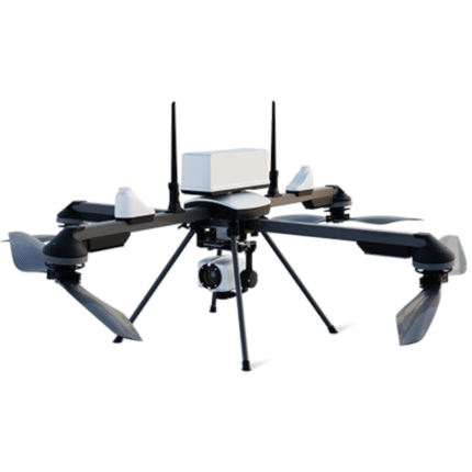
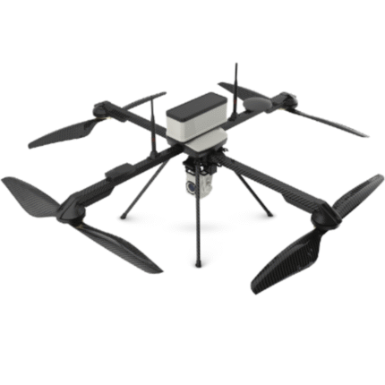
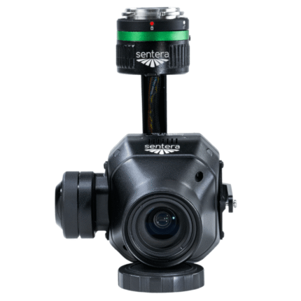
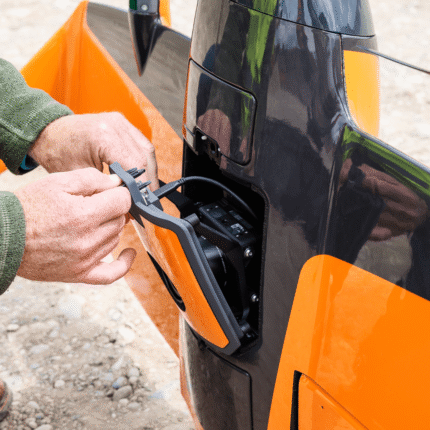
- Keep a lean fleet: Effortlessly switch between sensors, including high-resolution RGB cameras, multispectral sensors and advanced LIDAR, on the same drone platform.
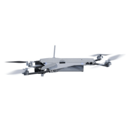
- Protected from landing shock: Thanks to the smooth vertical landing, your high-quality sensors are always protected, even in rough environments, ensuring a longer lifespan.
Applications
- Mining and Metals: Ensure accurate exploration and effective reclamation strategies with precise terrain mapping.
- Construction and Infrastructure: Ensure project feasibility and optimal design with detailed greenfield surveys and precision earthwork planning.
- Urban Planning and Land Management: Drive informed planning and sustainable development with comprehensive greenfield surveys.
- Environmental Monitoring: Monitor environmental changes and simulate floods for more effective ecological management and planning.
The WingtraRAY LiDAR Payload – Easy-to-use, Precise and Efficient
Compatibility
WingtraRAY
In the Box
1 – LIDAR payload: Scanner, IMU, GNSS, Mount
1 – 256 GB storage device
1 – Payload case
Specifications
| Scanner | Hesai XT32M2X rotating sensor • 905 nm • ≤ 300 m range |
| Payload weight (incl. mount) |
1 060 g (2.34 lb) |
| Point density @ 150 ft (45 m) | 110 pts/m² (single) — up to 660 pts/m² (triple)* |
| Point density @ 300 ft (90 m) | 110 pts/m² (hard surface) — up to 330 pts/m² (triple) |
| Point density @ 400 ft (120 m) | 84 pts/m² (hard surface) — up to 252 pts/m² (triple) |
| Coverage with PRS* | 150 ft: 220 ha (545 ac) • 300 ft: 415 ha (1 025 ac) |
| Coverage w/o PRS* | 150 ft: 245 ha (605 ac) • 300 ft: 460 ha (1 140 ac) |
| Vertical accuracy (RMS) | ≤ 3 cm (1.2 in) @ 300 ft |
| IMU | Inertial Labs tactical-grade (0.006° roll/pitch) |
| Outputs | Corrected LAS / LAZ point clouds via Wingtra LiDAR App |
| Assumptions | 30 % side-overlap, calm conditions |
Reviews (0)
Be the first to review “WingtraRAY LiDAR Payload” Cancel reply
Shipping and Delivery


FAST SHIPPING
- Ships within the United States only.
- Processing time: 1–3 business days.
- Delivery: 3–7 business days.
- Tracking number provided by email.
CUSTOMER SUPPORT
- Shipping rates calculated at checkout.
- Free shipping on selected products.
- Contact us within 48 hours for damaged deliveries.
- Our support team is ready to help with any shipping questions.
Reviews
There are no reviews yet.