
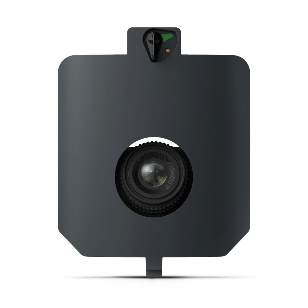


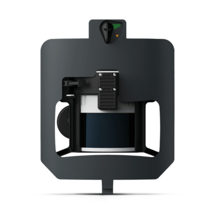
WingtraRAY LiDAR Payload
$17,400.00
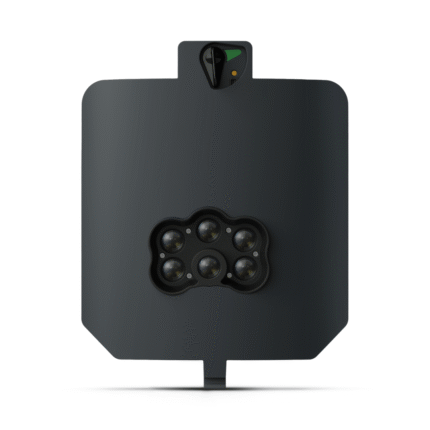
WingtraRAY MAP61 Payload
$7,740.00
180 in stock
SKU:
WING-WR-ADD-MAP61
Tags: Compatible With_WingtraRay, hide-price, Manufacturer_Wingtra
Description
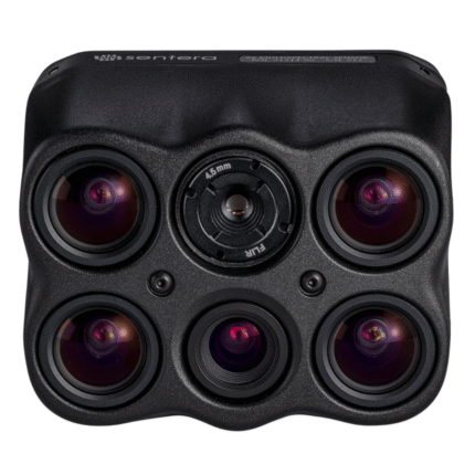
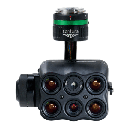
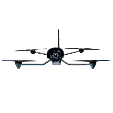
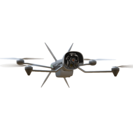
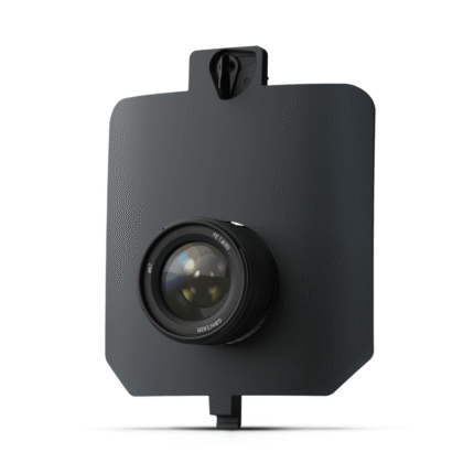
WingtraRAY integrates high-end compact sensors from Sony. They allow capture of the sharp images and fine details that are required for the most demanding aerial mapping applications. The WingtraRAY MAP61 Payload is Wingtra’s most efficient mapping sensor, engineered for both large-scale 2D mapping and high-resolution 3D models.
Features
- Full-frame sensor, wide-angle lens (17 mm), low oblique configuration
- Lowest possible GSD: 1.2 cm/px at 54 m altitude
- Absolute accuracy (RMS x, y, z) with PPK: 3cm
- Max coverage at 120 m: 550 ha
High Quality, Swappable and Durable
- Unwavering aerial image quality: Thanks to their heavy payload capacity, the Wingtra drones carry the highest quality sensors on the market.
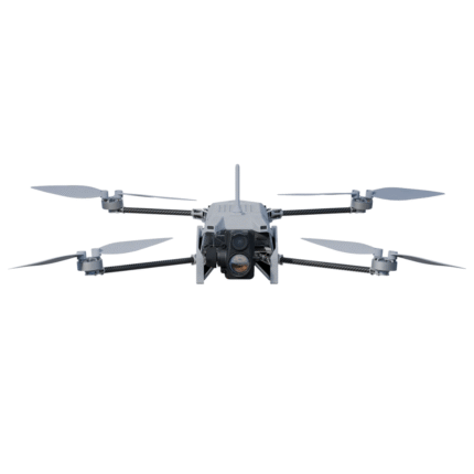
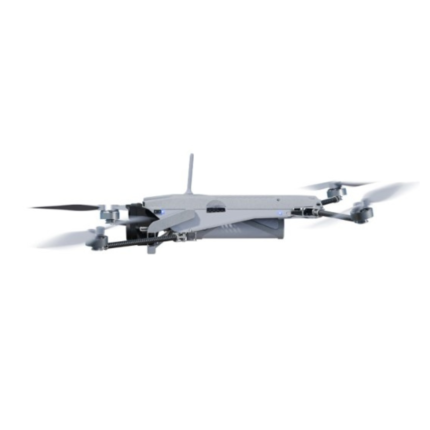
- Keep a lean fleet: Effortlessly switch between sensors, including high-resolution RGB cameras, multispectral sensors and advanced LIDAR, on the same drone platform.
- Protected from landing shock: Thanks to the smooth vertical landing, your high-quality sensors are always protected, even in rough environments, ensuring a longer lifespan.
Applications
- Mining and Metals: Ensure accurate exploration and effective reclamation strategies with precise terrain mapping.
- Construction and Infrastructure: Ensure project feasibility and optimal design with detailed greenfield surveys and precision earthwork planning.
- Urban Planning and Land Management: Drive informed planning and sustainable development with comprehensive greenfield surveys.
- Environmental Monitoring: Monitor environmental changes and simulate floods for more effective ecological management and planning.
The WingtraRAY MAP61 Payload – Most Efficient and Best 3D Capabilities
Compatibility
WingtraRAY
In the Box
1 – MAP 61 payload including mount for WingtraRAY
1 – Storage device
Specifications
| Sensor | 61 MP full frame, focal plane shutter |
| Lens / focal length | 17 mm (0.67 in) wide-angle, 15° oblique |
| Field of view | Horizontal 93° (-47°…+47°) • Vertical 70° (-20°…+50°) |
| Lowest GSD | 1.2 cm/px (0.47 in/px) @ 180 ft (54 m) |
| Max coverage @ 400 ft* | 460 ha (1,140 ac) @ 2.7 cm/px (1.06 in/px) |
| Max coverage @ lowest GSD* | 200 ha (500 ac) @ 1.2 cm/px (0.47 in/px) |
| Accuracy (PPK, no GCPs) | Horizontal 2 cm (0.8 in) • Vertical 4 cm (1.6 in) RMS |
| Pixel dimensions | 9 504 × 6 336 |
| Minimal trigger time | 0.5 s • Min. trigger distance 8 m (26 ft) |
| Payload weight (incl. mount) |
585 g (1.29 lb) |
| Shutter type | Focal-plane mechanical |
| Coverage assumptions | 60 % side-overlap, calm conditions |
Reviews (0)
Be the first to review “WingtraRAY MAP61 Payload” Cancel reply
Shipping and Delivery


FAST SHIPPING
- Ships within the United States only.
- Processing time: 1–3 business days.
- Delivery: 3–7 business days.
- Tracking number provided by email.
CUSTOMER SUPPORT
- Shipping rates calculated at checkout.
- Free shipping on selected products.
- Contact us within 48 hours for damaged deliveries.
- Our support team is ready to help with any shipping questions.



Reviews
There are no reviews yet.