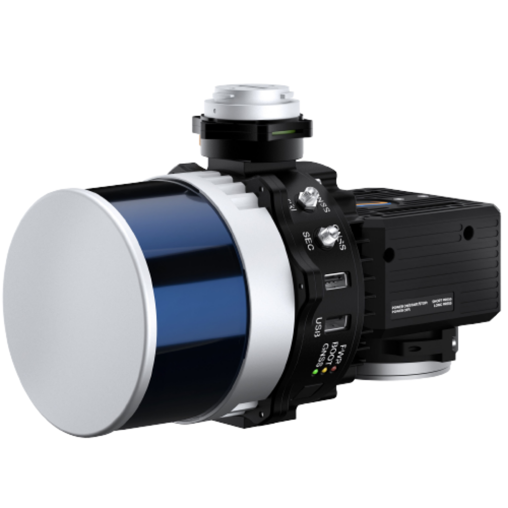
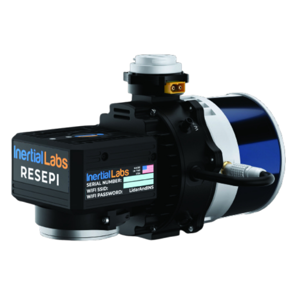
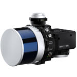
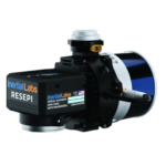
RESEPI Hesai XT-32 Drone LiDAR Kit
$18,300.00
180 in stock
This kit includes everything needed to integrate the LiDAR with your DJI M300 or M350 RTK or IF800 Tomcat. It also includes a 1 year license of PCMaster for LiDAR colorization and geo referencing. The only requirements on your base station are that it stores a RINEX file. The Emlid Reach RS2+ is compatible and sold and supported by E38. A complete base and rover setup is available for storing GCPs.
RESEPI Hesai XT32 with 26 MP Camera
- RESEPI Hesai XT32 with 26MP Mapping Camera, 16mm Lens, and Single Antenna NovAtel GNSS Receiver
- Full accessory set for integration with the M350/M300 RTK or IF800 Tomcat, vibration Isolator Kit and payload antenna
- Protective Hard Case
- 1 Year License of PCMaster
PCMaster
PCMaster is the LiDAR point cloud generation software for Inertial Labs’ breakthrough LiDAR Remote Sensing Payload Instrument, RESEPI.
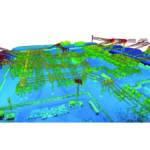
PCMaster, powered by Waypoint® Inertial Explorer from Hexagon | NovAtel®, features a simple and quick workflow where the user only needs to input a base station RTCM file. From there, PCMaster automatically corrects the antenna lever arm offset, combines and processes the forward and reverse trajectory, and produces a post-processed trajectory. After one more click, the LAS file can be made.
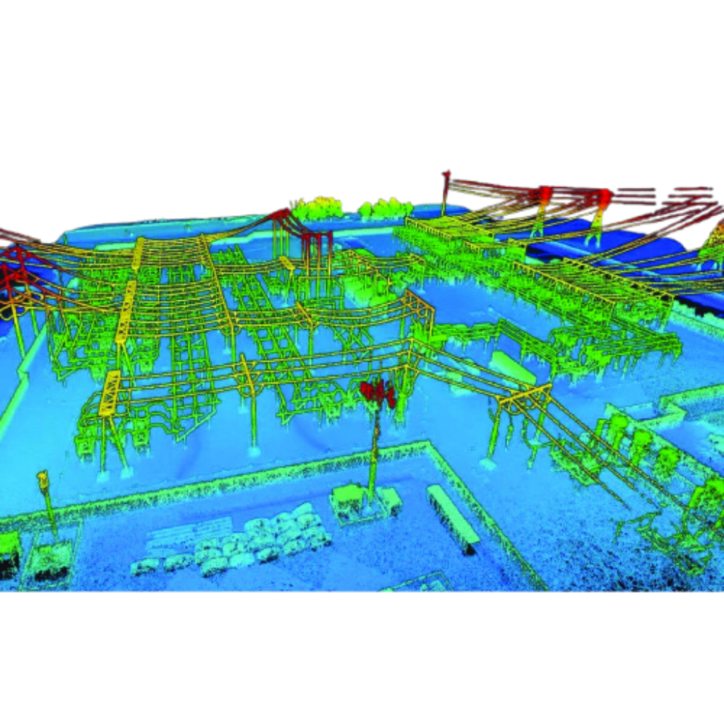
In addition to a simple workflow, PCMaster has a few built-in features for point cloud analysis. Users can filter data by selecting portions of the trajectory they want. This is especially helpful for mapping users that want to limit data overlap for thin bare earth models. Additionally, data accuracy can be analyzed with PCMaster’s built-in cloud slicing and measurement features for simple and precise spot-checking procedures.
RESEPI Overview
RESEPI (Remote Sensing Payload Instrument) is a sensor-fusion platform designed for accuracy-focused remote sensing applications. RESEPI utilizes a high-performance Inertial Labs INS (GPS-Aided Inertial Navigation System) with a tactical-grade IMU and a high-accuracy dual-antenna GNSS receiver, integrated with a Linux-based processing core and datalogging software. The platform also provides a WiFi interface, optional imaging module and external cellular modem for RTCM corrections. RESEPI can be operated by a single hardware button or from a wirelessly connected device via a simple web interface.
RESEPI HESAI XT-32
Compact and light-weight, the RESEPI XT-32 featuring a Hesai LiDAR scanner, is all-around a very attractive system, offering the benefits of best-in-class data accuracy, good detection range, high point density, and versatility.
Applications
The RESEPI XT-32 was strategically designed for multiple application bases. RESEPI XT-32 offers mounting options for: mobile vehicles, DJI supported drones (DJI M300, M600 Pro), custom drones, handheld platforms, vehicles, the Freefly Alta-X and many more. Because of this diverse mounting portfolio, the RESEPI can be used for many services including: utilities mapping (powerlines), construction volumetrics, site surveying, precision agriculture, forestry, mining operations, and much more.
FAST SHIPPING
- Ships within the United States only.
- Processing time: 1–3 business days.
- Delivery: 3–7 business days.
- Tracking number provided by email.
CUSTOMER SUPPORT
- Shipping rates calculated at checkout.
- Free shipping on selected products.
- Contact us within 48 hours for damaged deliveries.
- Our support team is ready to help with any shipping questions.

Reviews
There are no reviews yet.